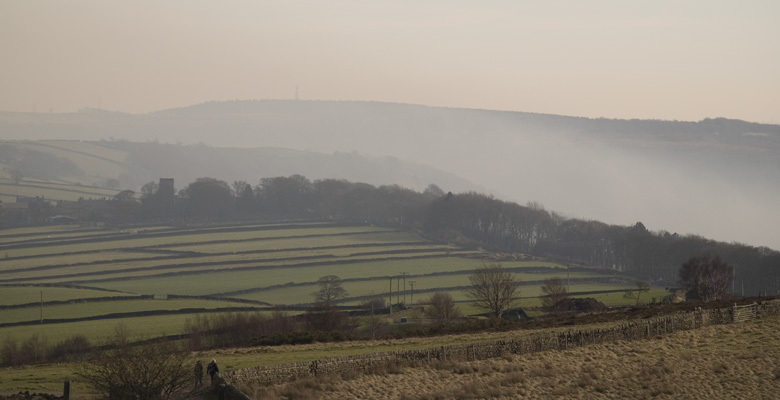
Medium length walks between 5 and 6.5 miles in and around the Stocksbridge area : Stocksbridge, Bolsterstone, Deepcar, Langsett, Crowden and Fox Valley.
| Green Moor | An undulating walk to Green Moor and the Trans Pennine Trail. | 5.0 or 6.0 miles |
| Beeley Woods and Worrall | From Oughtibridge to Beeley Wood, Middlewood, Worrall, Birtin Cemetery and Sensicall Park. | 5.5 miles |
| Holmfirth from Upperthong | A circular walk around Holmfirth from Upperthong. | 5.5 miles |
| Redmires and Rivelin | Circular walk including Redmires and Rivelin reservoirs | 5.5 miles |
| Rhodewood and Torside Reservoirs | A circular walk from Crowden including Rhodeswood and Torside reservoirs. | 5.5 miles |
| Langsett and Hordron Road | This walk takes you along the banks of Langsett Reservoir before ascending through woods to two ancient tracks: Swinden Lane and Hordron Road | 5.1 or 6.0 miles |
| Langsett Reservoir | A circuit of Langsett Reservoir taking in more than the basic loop around the reservoir. | 5.6 miles |
| Wortley Circular | From Cote Green (Wortley Station TPT) around the fields of Wortley and Crane Moor. | 5.8 miles |
| Broomhead Moor | From a stone circle to the top of Broomhead Moor and back by Dukes Road and Wigtwizzle. | 5.8 miles |
| Bolsterstone/Wigtwizzle Circular | From Bolsterstone, descend to the Ewden Valley then climbs steeply to Rocher Farm before descending to Broomhead Reservoir. Another steep ascent brings us to Stone Moor and a loop across fields back to Bolsterstone. | 6.0 miles |
| Dragon Circular | From Parsonage Farm, into Townend Common, past the Wantley Dragon, into ancient woodlands and past the grave of a Saxon King, Walder’s Low. | 6.0 miles |
| Hunshelf Bank | From Underbank along the length of Hunshelf Bank with panoramic views across to both the Peak District and the Lower Don Valley, including Fox Valley. | 6.0 miles |
| Wigtwizzle Bridleway | A pair of walks in the Ewden valley linked by the Wigtwizzle Bridleway. | 6.0 miles |
Mobile Phone Coverage – Mobile phone signal coverage is mostly good in this area. Intermittent signals can be received on higher ground.
Ordnance Survey map OL1 Dark Peak is recommended for all the routes on this web site.
Great care has been taken to ensure that the information on this web site and associated documents is accurate. However, we accept no liability for any claim, loss, damage or injury (howsoever arising) incurred by those using the information provided. Except where expressly stated to the contrary, copyright in the text, graphics and information contained in this web site (including downloads) is owned by Bradfield and Stocksbridge Walkers. You may print, or download to a personal computer, extracts for personal use. Permanent copying and/or storage of whole or part of this web site or the information contained therein or reproduction or incorporation of any part of it in any other work or publication whether paper or electronic media or any other form is expressly prohibited unless agreed otherwise.
Copyright – Bradfield and Stocksbridge Walkers 2024
