These routes are distributed in association with Sheffield Lakeland Landscape Partnership
A collection of inclusive routes that are accessible to wheelchair users and families with buggies. Each route has detailed instructions in the downloadable pdf, including accessibilty information such as route surface, width, gradient and any narrow points. The route cover from Fox Valley Retail park in Stocksbridge down to Damflask reservoir near Low Bradfield.
| Location | Description |
|---|---|
| Beeley woods | A linear woodland route along the bank of the River Don, with beautiful views of the river and its wildlife. The route follows the eastern bank of the river and is completely off-road. |
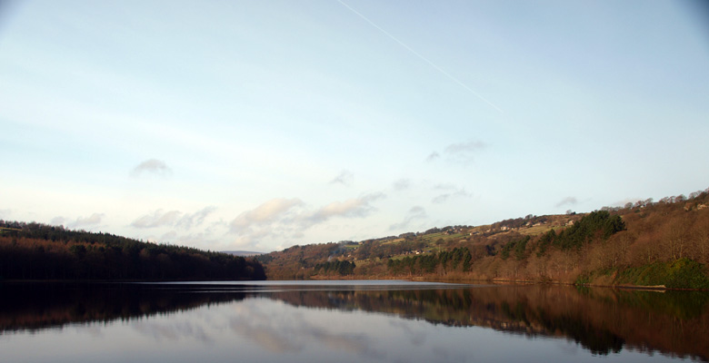
| Damsflask Reservoir North side | A woodland route, along the north shore of Damflask Reservoir with great views across the water towards the surrounding hills. |
| Damflask Reservoir South side | A woodland route with great views across Damflask Reservoir towards the surrounding hills. The route follows the south shore of the reservoir, through woods and then along the edge of fields, crossing the river just outside Low Bradfield. |
| Fox Valley Retail Park | A riverside route through the former steelwork’s stockyards, now a housing development, and on through woodland along the river. There are views of the surrounding hills. The path is 2-3 m wide, mostly off-road and is relatively level with some gradients. |
| Langsett | A lakeside route through larch woods, opening out into deciduous woodland. There are views southwest across the water to the moors. The off-road path is between 1.5 and 2.5 m wide and generally flat, with some short gradients. |
| Loxley Valley | This riverside valley route passes through woods along the banks of the River Loxley, along quiet back lanes past old cottages, and then along a path between dry stone walls and hedgerows, with views of fields and the wooded hillside. Two-thirds of the route is off-road; the path is generally flat with some gentle slopes. |
| More Hall Reservoir | This is a woodland route with great views across More Hall Reservoir towards the surrounding hills. The dam wall and south side are completely off-road; the path is generally flat and 1.5 metres wide, with some short gentle gradients and narrower sections. The route on the north side is along a quiet tree-lined road between fields and the reservoir. |
| Redmires | A moorland route, following the contour of Hallam Moor, with great views of the moors, the Rivelin Valley, and across Sheffield to the east. |
