Length 49.5 miles
Grade – The route includes sections of open moorland as well as dales, villages and hamlets.
Start – Various possible starting points – see the pdf for details
Refreshments – Various at the villages along the route..
Public Toilets – Low Bradfield
Description
The Bradfield Boundary walk leaflet was originally produced in 2003. Please be aware that the instructions in the leaflet have not been updated and landmarks referred to may no longer exist.
Bradfield Parish is probably the largest civil parish in England covering 56 square miles. It includes many villages and hamlets all with their own historical interest linked by over 100 miles of public footpaths.
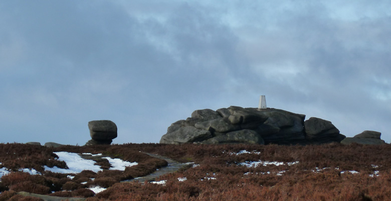
The Boundary Walk, 49.5 miles in total (46 miles if taking the alternative route at Oughtibridge or 55 miles if taking in the section to Swains Head) is unique, and takes in some of the most beautiful countryside in England ranging from fertile valleys in the south and east to open moorland in the north and west.
1. Ingbirchworth to Cannon Hall 2. Cannon Hall to Bretton Hall
barnsley-boundary-walk-1-2 pdf
3. Bretton Hall to Old Royston 4. Old Royston to Brierley
barnsley-boundary-walk-3-4 pdf
5. Brierley to Bolton upon Dearne 6. Bolton upon Dearne to Elsecar
barnsley-boundary-walk-5-6 pdf
7. Elsecar to Tankersley 8. Tankersley to Wharncliffe Woods
barnsley-boundary-walk-7-8 pdf
9. Wharncliffe Woods to Wortley Station 10. Wortley Station to Langsett
barnsley-boundary-walk-9-10 pdf
11. Langsett to Winscar 12. Winscar to Ingbirchworth
barnsley-boundary-walk-11-12 pdf
These leaflets were produced for Barnsley Metropolitan Borough Council.
Any issues relating to the route should be sent to Barnsley Metropolitan Borough Council,
Telephone – 01126 772142
email – publicrightsofway@barnsley.gov.uk
Acknowledgements
Produced by :BMBC 2003, 3rd edition 2015
Re-designed by : Mike Gibson
Illustrations Copyright BMBC
